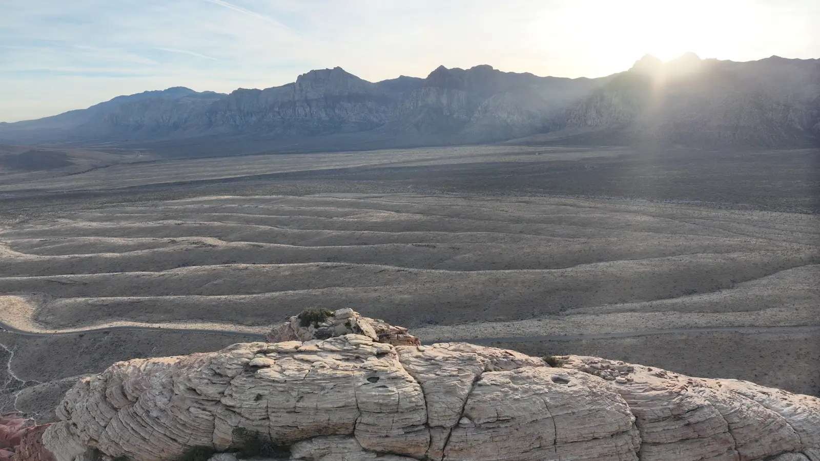
Calico Hills, Red Rock Canyon
Indian Creek, Utah
Indian Creek, Utah
Sinks Canyon, Lander, Wyoming
The Rectory, Castle Valley
Sinks Canyon, Lander, Wyoming
Calico Hills, Red Rock Canyon
Snowbird, Utah
Island in the Sky, Snow Canyon
01
The place

Venture into the known.

Arrive already understanding a place. Not a pin and a star rating. The approach, the light, the line that actually goes, and the thing to leave alone when you get there.

02
The people

Someone already knows it.

Land stewards. Local experts. The person who has been up it fifty times and knows why the second pitch is the one that catches people out. That knowledge is real, and it has never had a format.

03
The steward

Someone has to keep it true.

A place does not stay current by magic. It stays current because one person decided this area is theirs to look after, and for the first time they are equipped and paid to do it. Not better data. A steward with tools.

04
The upkeep

A book is finished. A place never is.

Is it dry? Is the road open? Did the bolts get replaced? The most useful thing anyone can tell you is what a place is like right now, and that has never had a home either.

05
The data

Closer than the satellite gets.

You know Google Earth. Spatial data goes further in. A Gaussian splat is an immersive capture of one place at one moment, close enough to read the rock, and it puts you inside it to look around for yourself rather than at a picture of it.

06
The problem

And it was brutal to make.

Twelve years. Drone teams. 521,000 photographs of rock across 112 projects in eight states. We know exactly what the good version cost, because we built it that way first. It could never scale, and we were never going to be enough.

07
The answer

A normal phone or drone. No fancy anything.

So now: two years after that needed a survey crew and a workstation, ordinary kit gets you spatial data we could only have dreamed of, with no specialist hardware and nothing to learn.

01 Walk it 02 It processes 03 Put it in a guide
Captured with
Real captures. Hover one. See how it works ↗
08
The guide

Don't take our word. Take the guide.

A real Legend Guide, live on this page. Drag the terrain, open a chapter, follow the map. Change the screen and watch it rebuild for the hand it lands in.

1280 × 800 · fit 100% Open /read ↗
legend.guide/read
The guide, open on the Calico Hills.
09
The deal

Publish it. Keep it.

Storytellers of place deserve what Substack gave writers. Your voice, your look, your audience, your price, and roughly 87% of what you earn. We charge for infrastructure, never for owning your work.

Scroll
Already captured Tap to load
2,759captures
408,850climbing frames
730already 3D
Open the archive
tap to load the live map
If you only read one thing Hover to hold
Going to the commons
408,850

Photographs of rock in coherent capture sets — enough overlap to rebuild a wall in 3D — of 573,977 frames in the public build, across 2,929 captures and nine states. It becomes data anyone can build a guide on. Every platform in this category says the community owns the data. We are putting ours in first.

Already on the map
285,811

Climbing routes and 70,596 areas, free to read and free to add to. Contribute a place and it stays credited to you, forever.

Already flown
234.8 hours

Of drone footage across nine states, shot by a handful of people with a lot of driving. None of it was easy to get. All of it is the kind of thing a guidebook could never hold — and the tools that took us this long now fit in a pocket.

The whole idea

“People kept asking when we were coming to their area. We're not. But you can.”

Berk Frei, founder

Capture
A phone

Twelve years of drone teams taught us the expensive version, and it does not scale. Walk a boulder with your phone and put it on the map. Bring your own tilesets if you already have them.

What a maker keeps
65–90%

Tips and subscriptions, ~87% after card fees. A guide built from your own work, ~90%. Build on places the community mapped and you keep 65% — the other 25% goes to them, which is the same pool that pays you when someone builds on yours. We charge for infrastructure, never for owning your work.

Every medium, searchable
Ask it

Video and audio are transcribed on upload, split into moments, and indexed. Stop scrubbing. Ask where he says which way to go at the ledge, and land on the second he said it.

Where this goes

“I hope I'm using someone else's guide to climb in Spain. One that I didn't make. That's what I want.”

Berk Frei, founder
Open the guide Make your own
◆ Opening this summer

Tell me when it opens.

Everything above is free to look at right now, no account needed. The web app — making your own guides, putting your own places on the map — opens to the public this summer. Leave an address and you get one email on the day it does.

One email, once. We never sell or share the list.